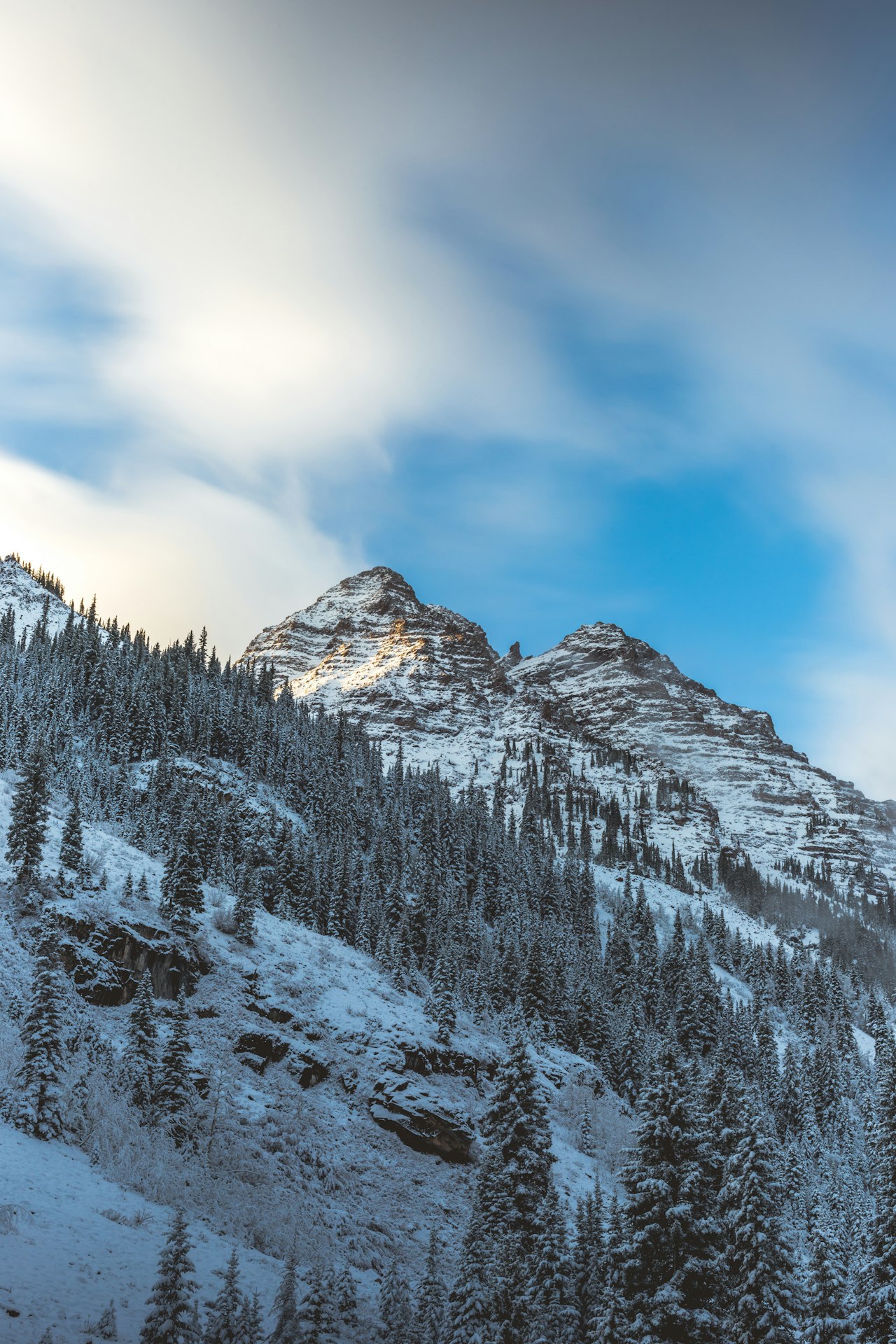
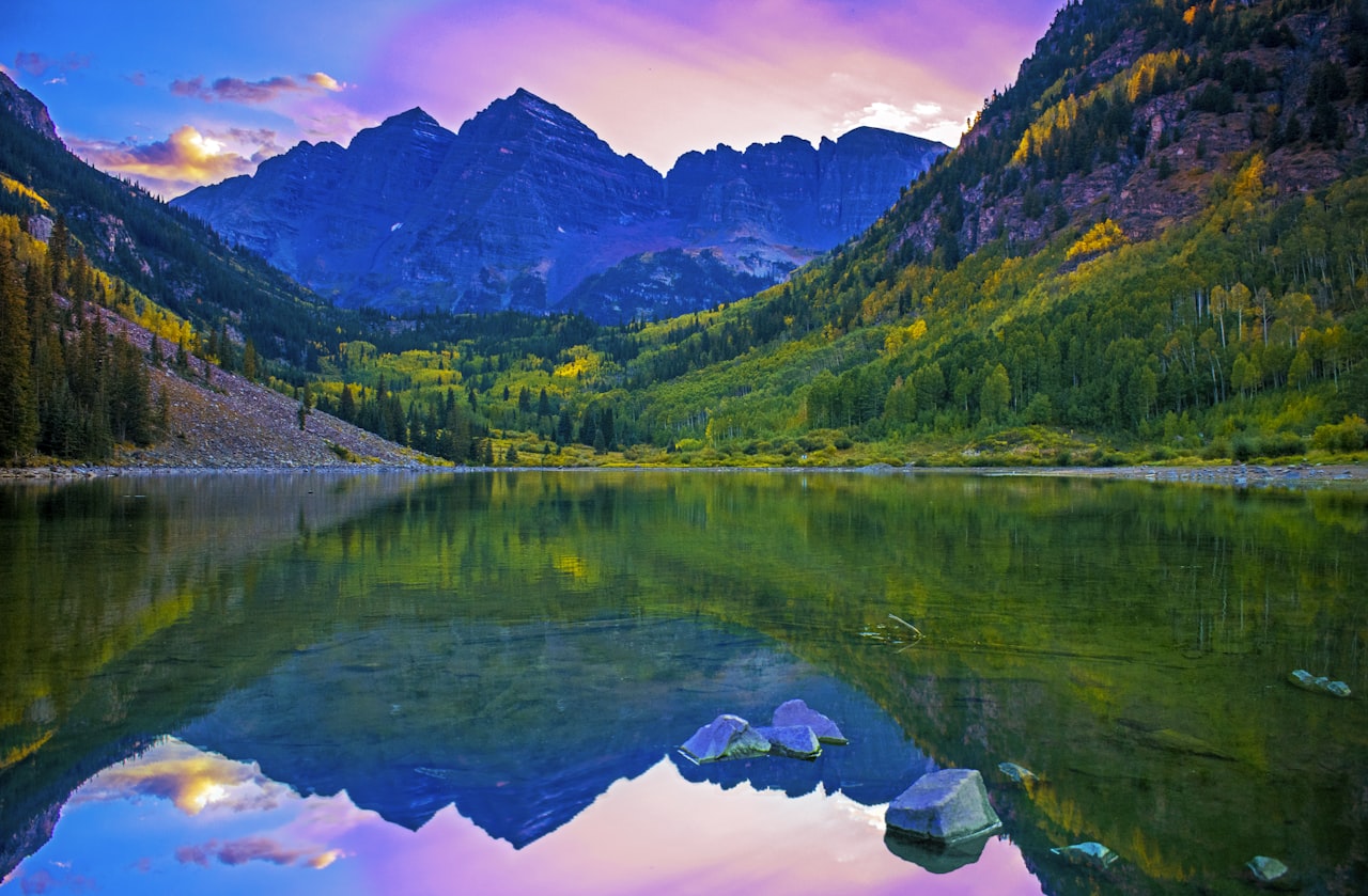
Independence Pass is a narrow, 2-lane stretch of State Highway 82 that connects Aspen to Denver and the front range by way of Buena Vista and Leadville. It is an absolutely beautiful drive over the Continental Divide with breathtaking mountain views. However, the pass is open seasonally and travelers should always try to keep up with the latest travel information for the pass. It is typically closed off to through traffic from early November until Memorial Day Weekend, depending on weather and road conditions.
Even when open, rock falls and other concerns need to be watched. I recommend checking this link for current Colorado road conditions and closures on SH 82 and other mountain passes. Oversized and overweight vehicles are prohibited from using the pass at any time because the road is narrow, the inclines are steep and the roads are winding.
The Magic of Independence Pass
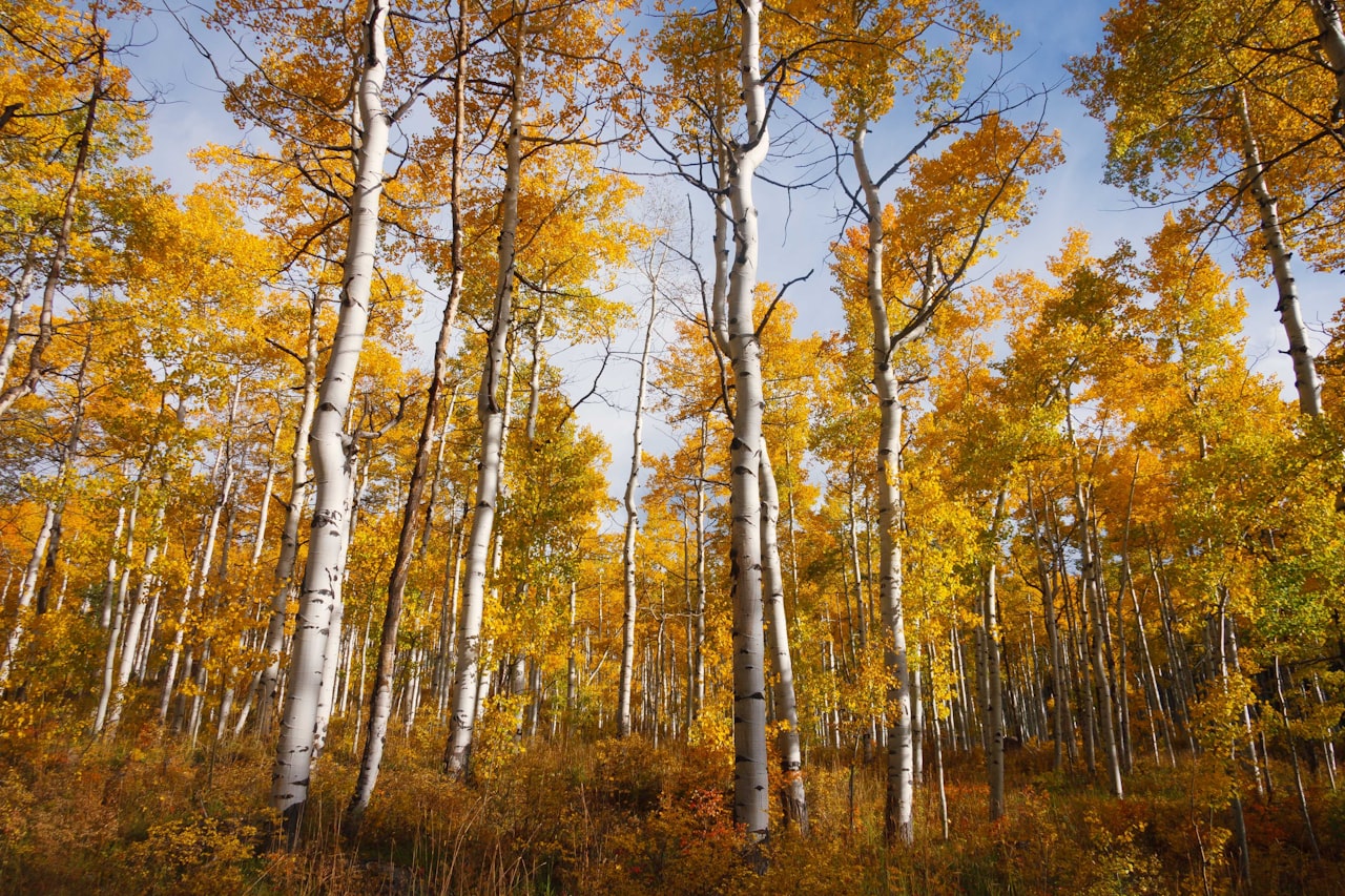
There are many reasons why you would want to be familiar with Independence Pass and consider using it when the weather allows. This is one of Colorado’s most scenic drives, very popular in the fall season when the leaves are changing. The pass reaches a summit at the Continental Divide of more than 12,000 feet. Hikers and cyclists are drawn to the pass. There is an annual road-biking race called Ride for the Pass that takes place here every May (usually right before the pass is open to the public around Memorial Day). Indy Pass is a hot spot for road cycling when it is open to motorists, so please stay alert and cautious should you choose to drive it!
Hiking Trails
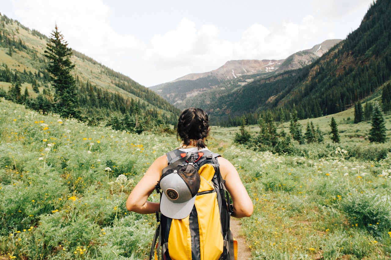
The pass offers access to some of Aspen’s best hiking trails:
- Grottos (Easy)—Great for picnicking and family hikes with a waterfall, ice cave and interesting rock formations.
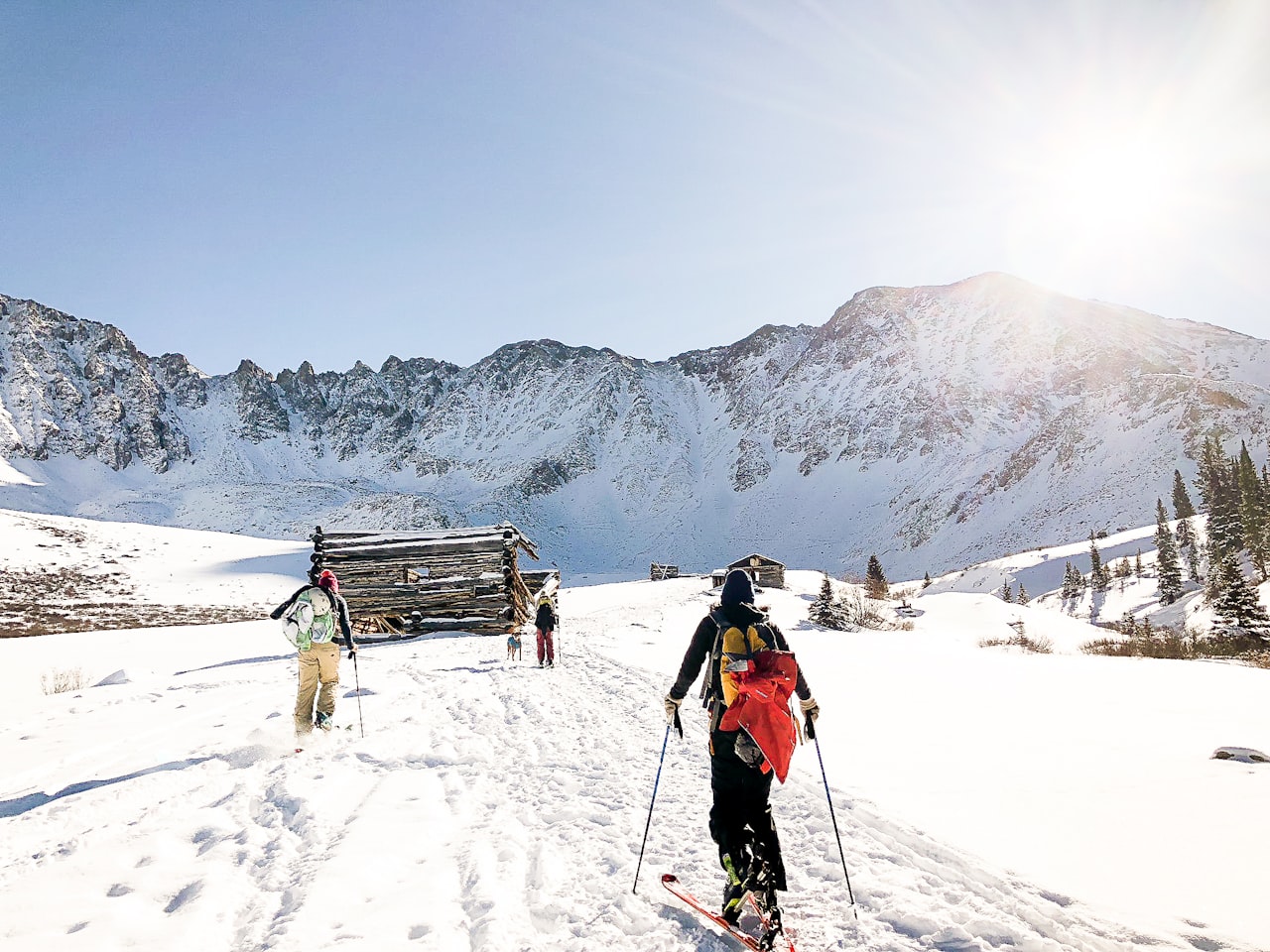
- Ruby (Easy)—Ruby is an old abandoned mining camp town. You will take some side roads off of the main highway to reach this cool little ghost town that you can explore.
- Lost Man Trail/Lost Man Loop (Moderate/Difficult)—If you want a little tougher hike that is rewarded with some of the best Colorado Mountain views you’ll find anywhere, then you will want to look up Lost Man Trail and plan a hike. The notion of a “loop” is deceiving, plan ahead for a relay car and read this: https://www.aspentrailfinder.com/lost-man-loop/
Other Attractions
Additional attractions along the pass include the other historic ghost town of Independence, the Continental Divide marker point and numerous campgrounds like Difficult Campground, Weller Campground, Lost Man Campground and Lincoln Gulch. These are all fee-based campsites. Some free camping areas can be found along Lincoln Creek Road.
Travel Information
Be prepared for slow driving through Independence Pass. In the summer, the pass draws big crowds and can take as long as an hour-and-a-half to complete the journey from one side to the other. Even when the roads aren’t as busy, you can expect about a 45-minute drive as you’ll want to be extra careful on this narrow, winding mountain pass.
If you are driving through Independence Pass or are spending some time up there hiking, biking or camping, you’ll definitely want to plan ahead. Be sure and check road conditions and plan out your trip to avoid problems.
Otherwise, every Aspen visitor should make it a priority to drive the pass at least once. It’s such a beautiful drive and it’s a great little getaway from Aspen itself.
If you want to know any more info about Independence Pass from a local, let me know. Send me an email at [email protected] and I’ll help you find any information you need to know about the pass or any other attractions in the Roaring Fork Valley.
___
Brittanie Rockhill
Aspen Real Estate
DRE # FA.100019229


