By Brittanie Rockhill
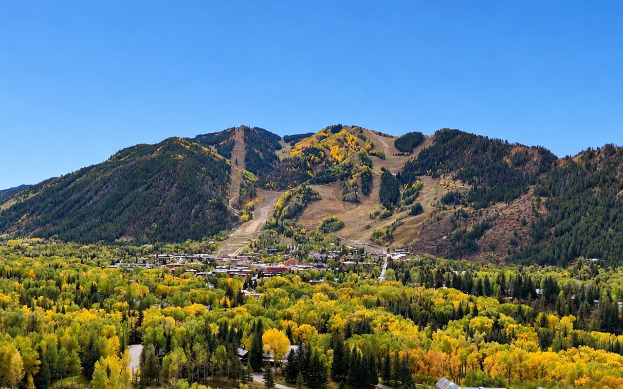
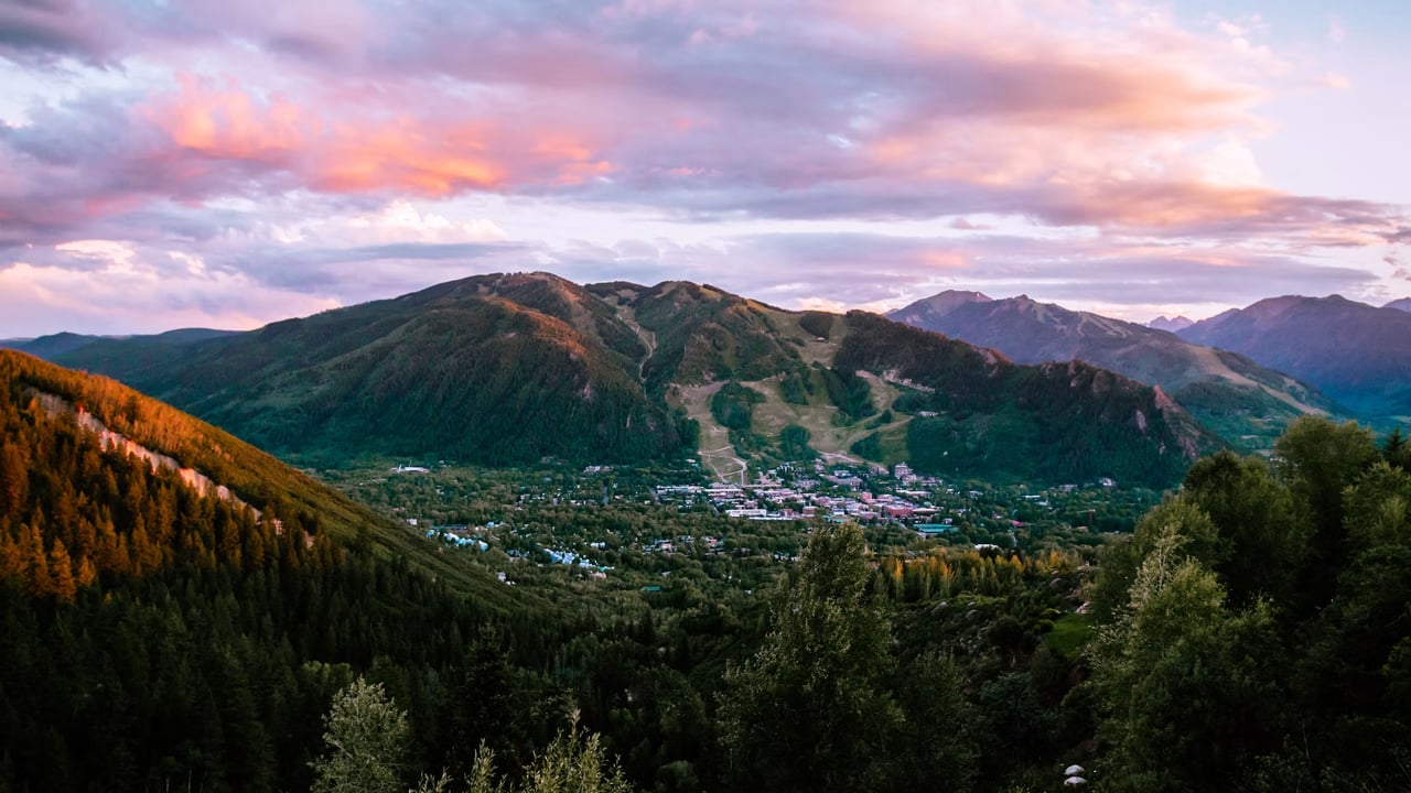
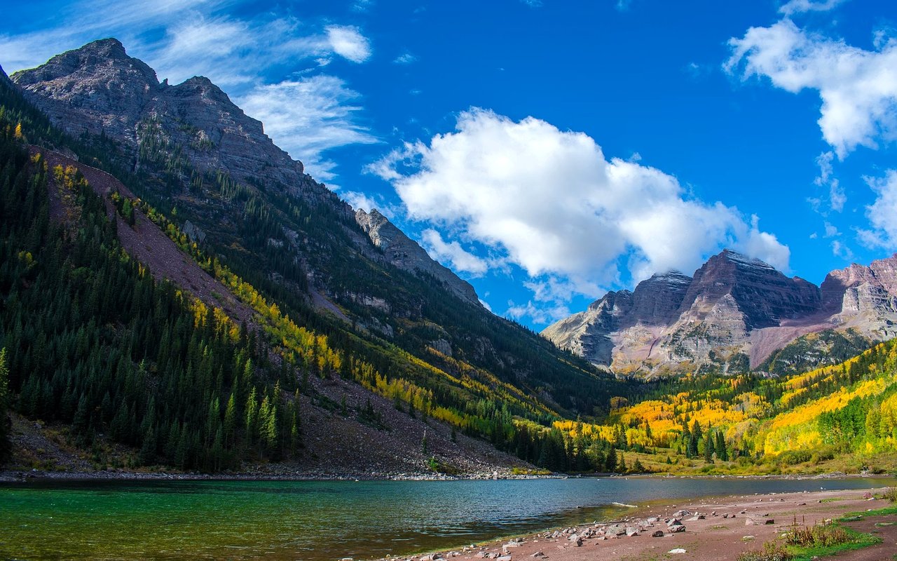
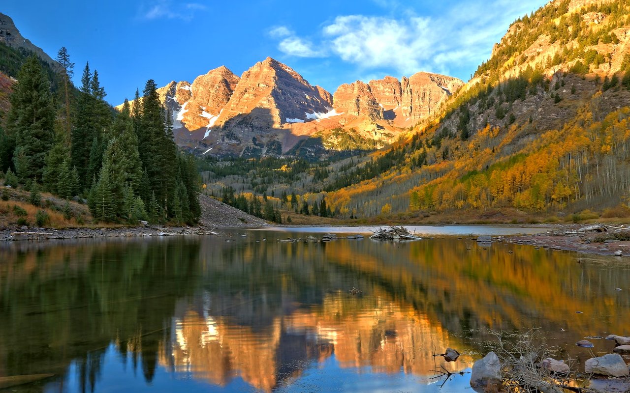
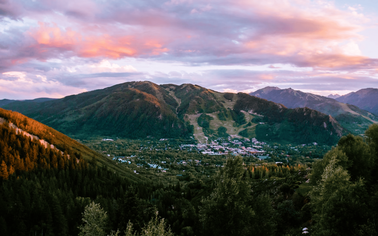
Drive east from Aspen on Highway 82 and the town quickly gives way to river corridors, forests, and wilderness trailheads. I help clients who want space and quiet understand how that setting works through all four seasons. The road to Independence Pass shapes daily routines, from winter access to summer outings. Here is what I explain to anyone considering life on the east side of town.
Key Takeaways
- Privacy and space: The Highway 82 corridor east of town offers more room than the downtown core.
- Seasonal pass: Independence Pass typically closes in late October or November and reopens before Memorial Day weekend.
- River access: The Roaring Fork River corridor supports fishing and quiet walks near campgrounds and trails.
- Wilderness trails: Lost Man Trail and nearby wilderness areas sit within a short drive of home.
Define the East Aspen Setting
East Aspen describes the Highway 82 corridor that leads from town toward Independence Pass. Difficult Campground and Lost Man Campground mark stretches of this road, with the second about 14 miles east of Aspen.
Landmarks Along the Corridor
- Difficult Campground: Sits within White River National Forest with river access and hiking trails nearby.
- Lost Man Campground: Lies about 14 miles east of Aspen on Highway 82, across from the Lost Man trailhead.
- Independence townsite: A ghost town sits roughly two miles east of Lost Man Campground.
Each landmark gives a sense of scale for how far a property sits from town. I map those distances for clients before they tour, so the drive times feel familiar on the first visit.
Plan Around Independence Pass Seasons
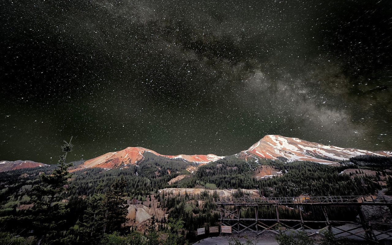
Independence Pass reaches 12,095 feet and is described by CDOT as the highest paved state highway in Colorado. The road connects Aspen with Twin Lakes and typically closes for the winter in late October or November.
Seasonal Rules to Remember
- Spring reopening: The pass generally reopens on the Thursday before Memorial Day weekend, weather permitting.
- Vehicle limits: Commercial and recreational vehicles 35 feet or longer are prohibited because of the tight switchbacks.
- Gate closures: CDOT notes closure gates near Aspen and Twin Lakes while the road is closed.
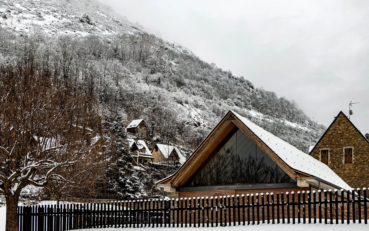
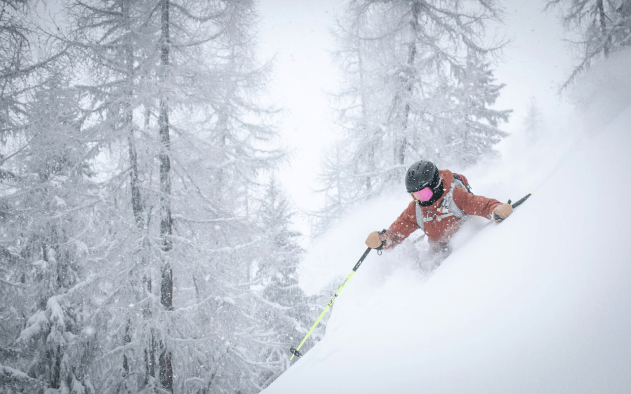
Winter closures change how residents plan trips to the east, since the pass is unavailable for several months. I explain the seasonal rhythm so nothing surprises a new owner.
Enjoy the Roaring Fork River Corridor
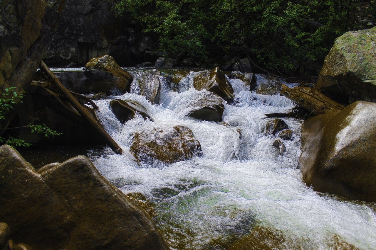
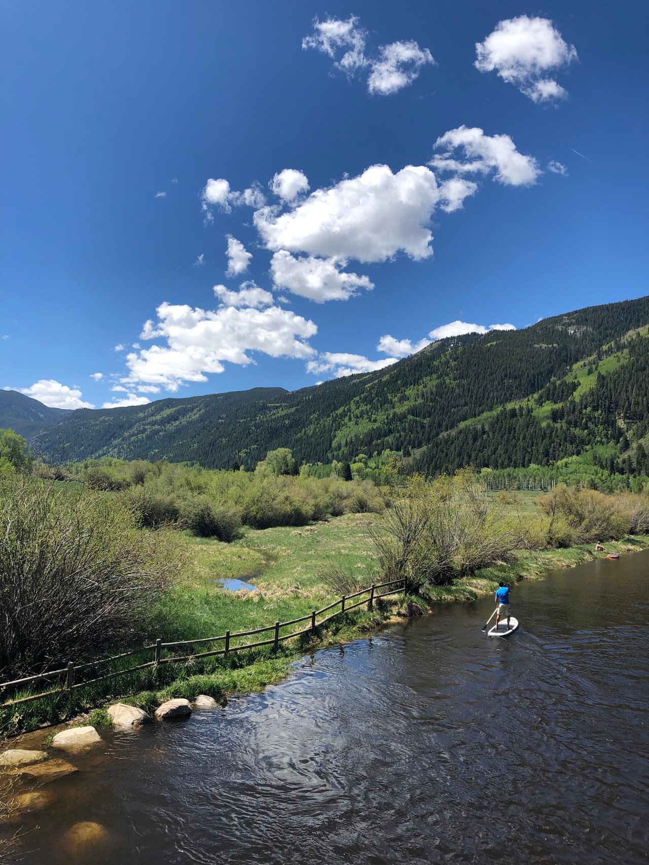
The Roaring Fork River runs alongside the highway, and campground reviews describe the sound of the river through the night. Difficult Campground lists hiking trails and fishing sites along the river and neighboring beaver ponds.
Riverside Activities
- River fishing: Anglers can reach river and beaver pond sites near Difficult Campground.
- Quiet walks: Trails near the river offer a calm alternative to busier town paths.
- Seasonal camping: National Forest campgrounds give friends and family a nearby place to stay during the open season.
Water access appeals to many owners who value privacy and a quiet backdrop. I look closely at how a property relates to the river and any public land around it.
Hike Lost Man Trail and Nearby Wilderness
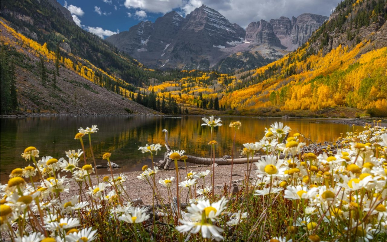
Lost Man Trail begins near Lost Man Campground and is rated moderate to difficult in a local hiking guide. The route passes through mossy forest with river crossings and opens to views of the Hunter-Fryingpan Wilderness and the Collegiate Peaks Wilderness.
Trail Details
- Elevation gain: The guide lists about 1,290 feet of gain along the route.
- Trailheads: A second trailhead lies about 18.5 miles east of Aspen near the top of Independence Pass.
- Trail etiquette: Dogs must stay under voice and sight control, and marmots appear near the pass.
Trailheads this close to home turn a morning hike into a regular habit. I share route ideas with clients who love the outdoors, from short loops to full-day outings.
Weigh Acreage, Privacy, and Pitkin County Rules
Larger parcels bring privacy, yet Pitkin County rules still shape what can be built. A 2023 land use memo describes a countywide cap of 9,250 square feet of gross floor area, with updates possible later.
Due Diligence for Acreage
- Land-use review: Confirm the district, setbacks, and floor area rules for each parcel with the county.
- Wildlife ranges: Mapped elk winter range can restrict winter development on some land.
- Access and utilities: Check driveway access, water, and septic details early in the process.
A careful review protects the vision for privacy and space. I coordinate with planners and surveyors so owners understand each constraint before they commit.
FAQs
What defines East Aspen luxury real estate?
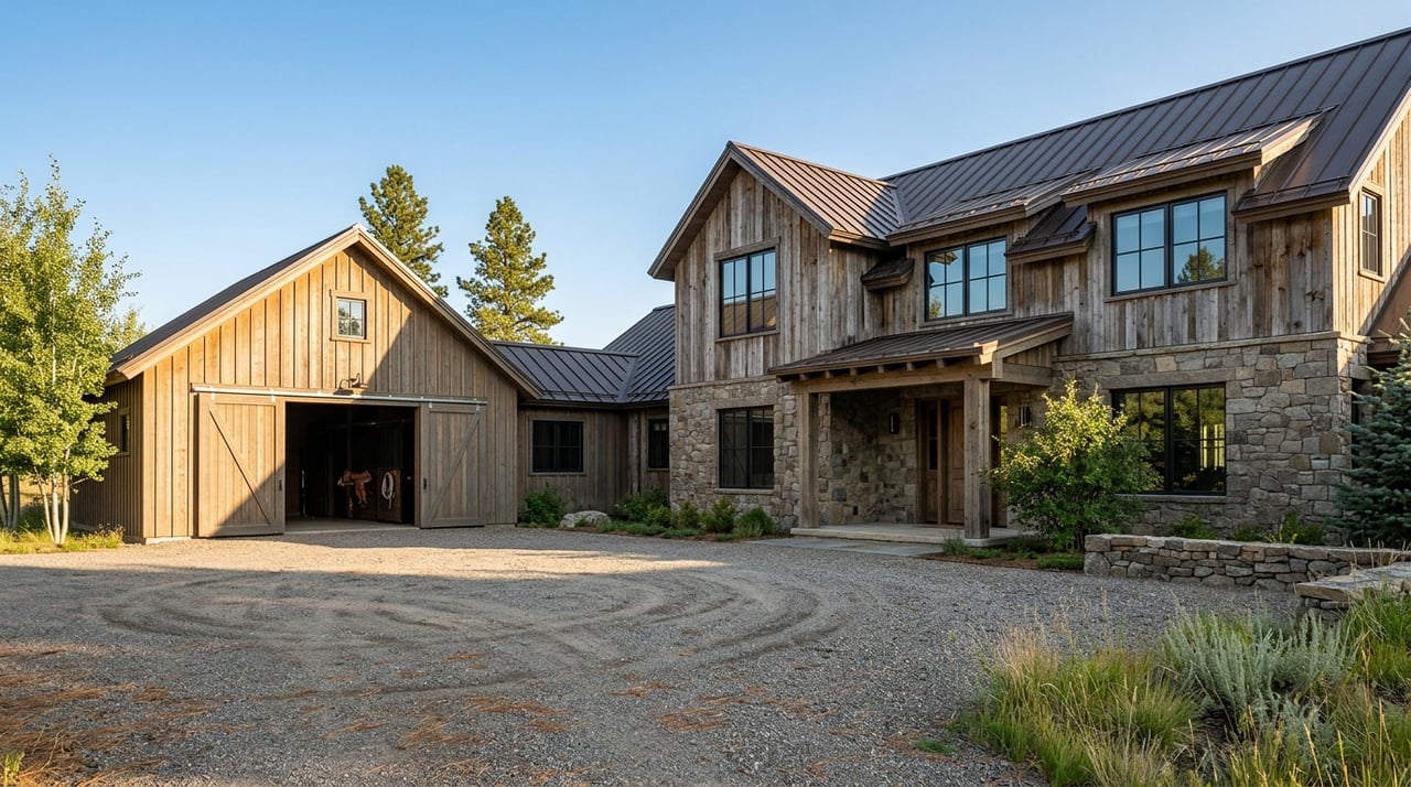
The setting centers on the Highway 82 corridor, with river access, forest, and trailheads close to home. Parcels tend to offer more space than the downtown core, though the details depend on each property.
When is Independence Pass open?
The pass generally reopens on the Thursday before Memorial Day weekend and closes in late October or November, depending on conditions. Check current status with CDOT before planning a trip.
Are there size limits for large vehicles on the pass?
Commercial and recreational vehicles 35 feet or longer are prohibited because of the tight switchbacks. Owners with large trailers or RVs should plan alternative routes.
Reach Out to Brittanie Rockhill
Reach out to Brittanie Rockhill to explore homes and land along the Highway 82 corridor and the lifestyle that comes with them.